An exclusive article by Fred Kahn
Anti-money laundering professionals have long grappled with the shadowy world of trade-based money laundering (TBML), where the legitimate flow of goods is exploited to disguise illicit profits. Traditional controls and documentary verification methods often fall short, especially in global trade corridors where shell companies, complex shipping routes, and opaque invoicing practices enable billions in dirty money to disappear each year. Over the last decade, however, satellite imagery, advanced geospatial analytics, and the Internet of Things have started to transform the detection of trade-based money laundering. These tools allow for real-time tracking of commodity flows, vessel movements, and even discrepancies between physical shipments and reported documentation. As the regulatory spotlight on trade-based laundering sharpens, financial institutions, customs authorities, and regulators are increasingly leveraging these new technologies to close the gaps left by paper-based controls.
The integration of space-based observation and digital analytics into AML platforms is not just a technological upgrade. It represents a fundamental shift toward end-to-end visibility, where previously hidden patterns in global supply chains can be exposed and investigated. This article explores how satellite and geospatial data are now being used to identify TBML typologies, enhance risk scoring, and address long-standing vulnerabilities in trade finance. It also examines the practical limitations, emerging risks, and the regulatory frameworks guiding this evolving landscape.
Table of Contents
Integrating Satellite Imagery and Geospatial Intelligence Into AML Controls
Satellite imagery and geospatial intelligence are being operationalized to monitor global commodity flows, offering a non-intrusive means to validate trade activity in near real time. High-resolution images captured by commercial satellites can reveal physical details such as port congestion, vessel berths, and even the buildup or depletion of stockpiles in industrial zones. These observations can then be cross-referenced with customs records, shipping manifests, and financial documentation to detect inconsistencies indicative of TBML schemes.
For instance, a satellite could monitor a container port in Southeast Asia and identify a vessel that, according to documentation, should be carrying bulk agricultural goods. However, geospatial analysis might reveal the ship remained anchored at sea for days, never docking to load or unload cargo. When combined with automated vessel tracking systems and bill of lading data, this raises immediate red flags for possible phantom shipments or invoice fraud.
Geospatial analytics also allow for macro-level anomaly detection. By analyzing traffic patterns in strategic ports, changes in the volume of commodities stored in tank farms, or unusual transshipment activities at sea, analysts can uncover large-scale fraud or the movement of sanctioned goods. The deployment of synthetic aperture radar enables monitoring through cloud cover and at night, further reducing opportunities for criminals to exploit blind spots.
This approach aligns with evolving global AML regulations. FATF’s Recommendation 13 on correspondent banking and wire transfers, for example, highlights the importance of understanding underlying transactions, while the EU’s 6th Anti-Money Laundering Directive (6AMLD) expands liability for facilitating illicit trade. Satellite and geospatial data, as part of an institution’s transaction monitoring toolkit, can help demonstrate compliance with the expectations of “ongoing due diligence” and “enhanced scrutiny” required by these frameworks.
Shipping Route Analytics and IoT Devices Enable Real-Time Trade Verification
A second pillar of innovation in TBML detection is the fusion of shipping route analytics with IoT-enabled sensors. Every vessel engaged in international trade is required under the International Maritime Organization’s SOLAS Convention to carry an Automatic Identification System (AIS) transponder, broadcasting its location, speed, and cargo status. These AIS signals are now routinely collected not only by coastal receivers but also by satellites, creating a global, tamper-resistant map of maritime activity.
Specialized analytics platforms process this torrent of data, identifying suspicious behaviors such as ships “going dark,” taking circuitous detours, or conducting ship-to-ship transfers in international waters. Cross-checking declared routes with actual movement enables investigators to challenge claims made in trade documentation, revealing classic TBML red flags such as circular shipping patterns or unexplained stops in high-risk jurisdictions.
IoT devices add another layer of granularity. Connected cargo sensors, RFID tags, and even environmental trackers can transmit data on temperature, weight, and container opening events in real time. A sudden drop in temperature could indicate perishable goods have been substituted or offloaded, while a deviation from the planned route triggers automated alerts. For banks and insurers financing these shipments, access to verified, third-party sensor data allows for more accurate risk assessments and helps expose practices such as over-invoicing or under-invoicing commodities.
The intersection of geospatial data and IoT analytics is rapidly gaining traction with customs authorities. The World Customs Organization (WCO) has begun piloting projects where satellite data and on-the-ground IoT feeds are combined to create a unified risk picture of inbound and outbound shipments. These data-driven approaches are now reflected in updated regulatory guidance, such as the Basel Committee’s 2023 statement on trade finance risk management, which encourages the use of digital tools and independent third-party data sources in AML controls.
Addressing Invoice Fraud and Achieving End-to-End Visibility
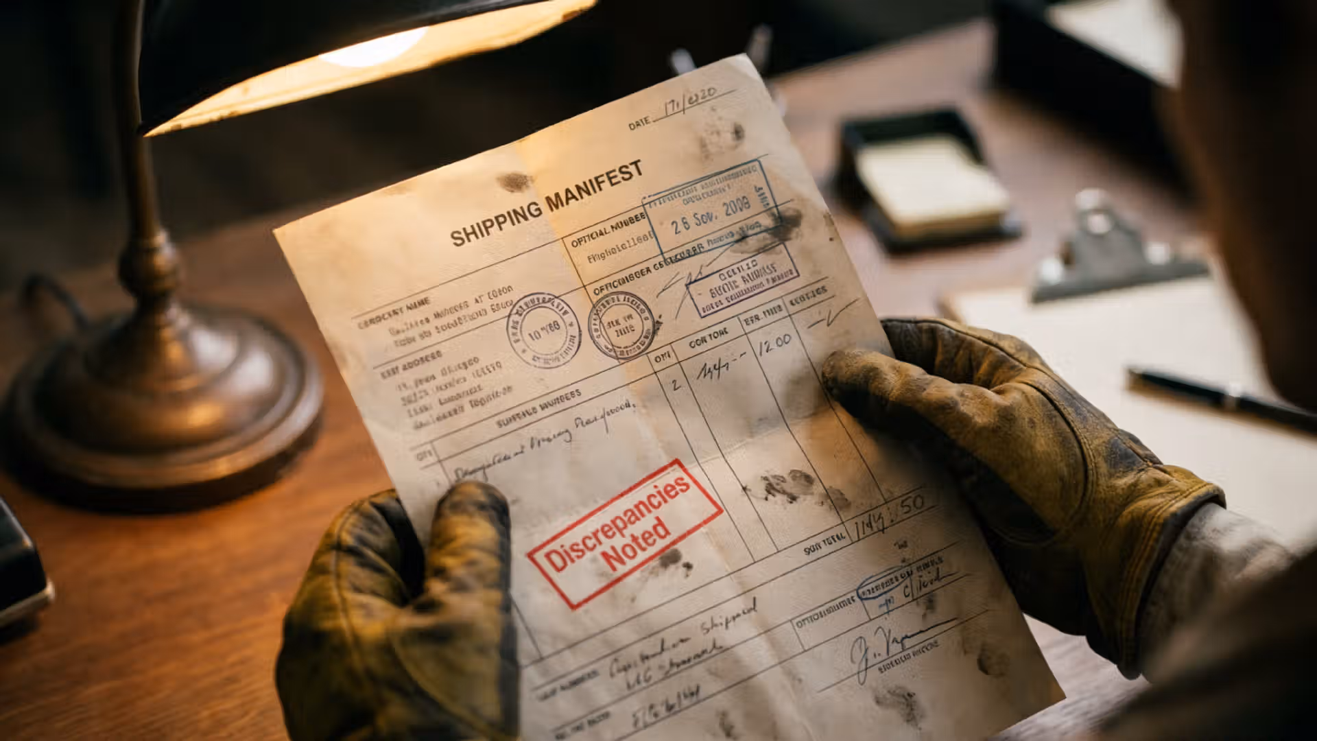
Invoice fraud, a core enabler of TBML, has traditionally exploited the inability of banks and customs officials to verify whether physical goods actually match the descriptions and values declared in paperwork. Satellite and geospatial monitoring, when integrated with shipping and IoT data, now makes it possible to challenge fraudulent claims on a scale that was previously impossible.
For example, a trader might present invoices for multiple shipments of copper wire between Africa and Europe, supported by documentation and insurance policies. By examining satellite imagery of the shipping terminal, combined with vessel tracking and sensor data from containers, analysts can confirm whether the volume of goods moving matches what is declared. Significant mismatches in size, frequency, or composition of shipments immediately flag the transaction for deeper review.
Modern AML platforms are increasingly being built with APIs that allow for seamless ingestion of satellite, geospatial, and sensor data, overlaying these feeds with traditional financial and KYC data. This convergence supports end-to-end visibility, where all parties—from banks to customs and port operators—share a unified understanding of commodity flows, thus making invoice fraud much harder to conceal.
Regulators have responded by updating their expectations. The Financial Action Task Force (FATF) has signaled support for integrating advanced analytics into trade finance controls. EU and US regulators are also updating their risk-based guidance, with agencies such as FinCEN in the US and the European Banking Authority (EBA) highlighting the importance of non-traditional data sources in identifying complex, cross-border financial crime.
What’s Next: Toward Fully Transparent, Automated TBML Risk Management
Despite the dramatic advances in geospatial monitoring, significant challenges remain in the fight against TBML. Criminals are quick to adapt, employing ever more sophisticated methods such as exploiting free trade zones, using false flag vessels, or leveraging unregulated digital marketplaces. Moreover, satellite and IoT data, while powerful, can be expensive to collect and analyze, and require significant investment in analytics and data science.
The future of TBML detection lies in building platforms that can automate much of this complexity. The next wave of innovation is focused on machine learning algorithms capable of fusing multi-source data into actionable risk scores. These systems will use historical patterns of normal trade, combine them with satellite and sensor data, and apply anomaly detection models that highlight likely instances of TBML or invoice fraud.
Another frontier is the use of blockchain technology to provide immutable, end-to-end records of each trade transaction, from point of origin to final destination. When combined with satellite-based confirmation of vessel or cargo movements, blockchain can create a tamper-proof audit trail, greatly increasing the reliability of AML controls.
International cooperation will also become even more critical. Initiatives such as the Global Container Control Programme (a partnership between the UNODC and WCO) and regional partnerships supported by Interpol are pushing for the standardized exchange of geospatial data, real-time alerts, and shared watchlists. As regulators, law enforcement, and private sector actors become more comfortable with these technologies, the global AML community will see a convergence toward standards and frameworks that rely heavily on independent, digital data sources.
Ultimately, the promise of end-to-end visibility in commodity flows and trade finance is moving closer to reality. The days when TBML could be successfully conducted in the blind spots between customs, banks, and port operators are numbered, provided that investment in data, analytics, and international collaboration continues.
Conclusion: Satellite and Geospatial Data Are Transforming TBML Controls
Satellite and geospatial data are rewriting the playbook for anti-money laundering professionals confronting the challenge of trade-based money laundering. By making the invisible visible, these technologies offer a level of transparency and verification that can no longer be matched by traditional, paper-based controls alone. As the regulatory landscape continues to evolve, and as machine learning and blockchain are brought to bear on the problem, the prospects for truly effective TBML detection and prevention look stronger than ever.
The path ahead involves investment, collaboration, and a willingness to integrate cutting-edge technology into compliance and customs operations. AML professionals, financial institutions, and regulators that embrace satellite and geospatial data will be far better equipped to disrupt the complex networks that sustain trade-based financial crime.
Related Links
- FATF Trade-Based Money Laundering Guidance
- WCO Trade Fraud Risk Management
- Basel Committee Statement on Trade Finance
- EU 6th Anti-Money Laundering Directive
- FinCEN Guidance on Trade-Based Money Laundering
Other FinCrime Central Articles About How Technology Improves the Fight Against TBML
- Next-Level AML Monitoring Can Be Achieved with Connected Supply Chains
- Why Banks Struggle to Integrate Trade Finance Data into Transaction Monitoring Systems
- AI and Blockchain in TBML Detection Deliver Progress but No Silver Bullet
Some of FinCrime Central’s articles may have been enriched or edited with the help of AI tools. It may contain unintentional errors.
Want to promote your brand with us or need some help selecting the right solution or the right advisory firm? Email us at info@fincrimecentral.com; we probably have the right contact for you.